Introduction to the coastal environment
What is the coastal environment?
The coast is the area where the land and sea meet. This results in a special set of environments where the marine and terrestrial areas influence each other. The term ‘coastline’ is normally used to refer to the narrow strip around the country where land and coastal waters come into direct contact. The term ‘coastal environment’ refers to a broader area which is identified in the Resource Management Act 1991 (RMA) as requiring special management, but the term itself is not defined.
However, Policy 1 of the New Zealand Coastal Policy Statement 2010 lists factors to consider in identifying the extent of the coastal environment.
Physical shaping of the coast
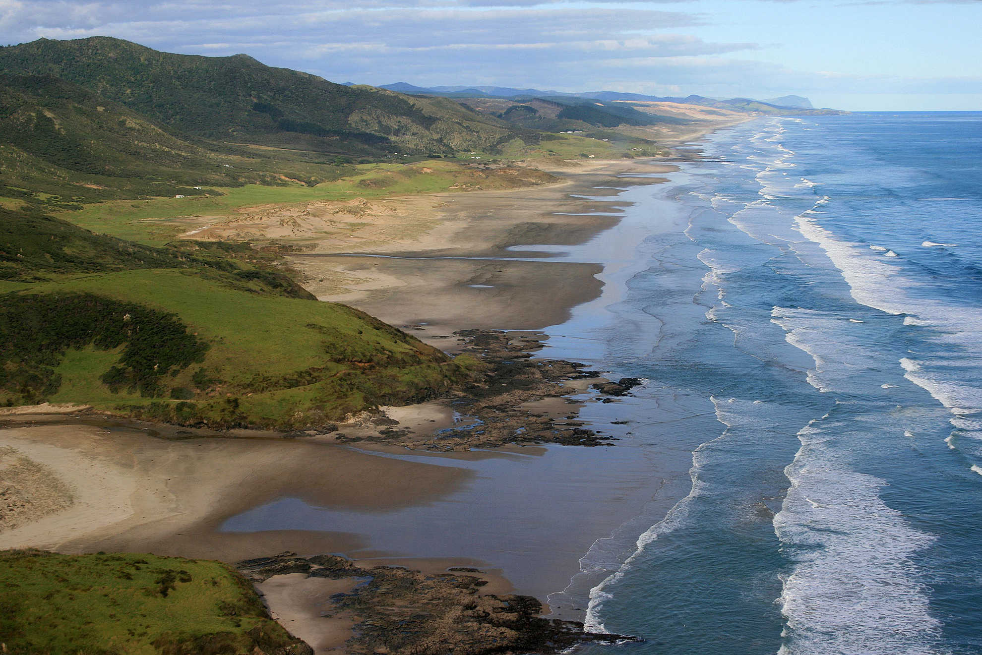
New Zealand’s coast has long, sandy beaches and bays, sheltered estuaries and harbours, exposed rocky headlands, dramatic cliffs, wild dunes and magnificent fiords. The country’s climate ranges from the balmy subtropical north to the rugged subantarctic south. Consequently, the coast is home to a diverse range of flora and fauna, including many species that are found nowhere else. The subantarctic islands contain some of the most diverse ecosystems in New Zealand, with much of the flora and fauna being endemic to the region.
Volcanic coastal features
Volcanic activity, stretching back many millions of years, has left spectacular peninsulas, volcanic cones, rock formations and sunken harbours around much of our coast, particularly on the eastern side. The remnants of this ancient volcanic activity can be seen in many of New Zealand’s harbours, including those at Whangaroa, Otago and Lyttleton. More recently, the eruption of volcanoes in the Auckland area transformed the coastline, including the creation of the iconic Rangitoto Island.
Tectonic coastal features
The tectonic shaping of the coast is most evident close to the fracture lines which have occurred when the earth’s crust has been broken by tectonic forces, known as fault lines. When land moves around these faults causing earthquakes, parts of the coast are uplifted, and others sink. The features of this ongoing shifting of the coastline can be seen clearly along the south and south-eastern coasts of the North Island.
Effects of sea-level change
A process which has had a major impact on the coast is sea-level change. New Zealand’s most recent ice age occurred around 20,000 years ago, when sea levels dropped to about 125 metres below their present level. 3090 As the climate subsequently warmed, and the ice melted, the sea rose and flooded extensive river valley systems and volcanic craters. The Bay of Islands, Hauraki Gulf and Marlborough Sounds are all impressive examples of how mountains, rolling hills and valleys became sheltered harbours and inlets as a result of this sea-level rise. Subsidence, when coupled with sea-level rise, can magnify the changes.
-
Peart R, 2009, Castles in the sand: What’s happening to the New Zealand coast? Craig Potton Publishing, Nelson
Last updated at 8:47AM on September 30, 2020